
Local Insight
Central Bedfordshire Local Insight
Central Bedfordshire’s JSNA Local Insight tool is a community mapping and reporting tool using up-to-date national open data and locally uploaded data.
It’s a service that allows you to find, explore and use a wide range of facts and figures at different geographic levels for Central Bedfordshire.
You can generate bespoke and in depth profile reports with the confidence of using the most recently available data.
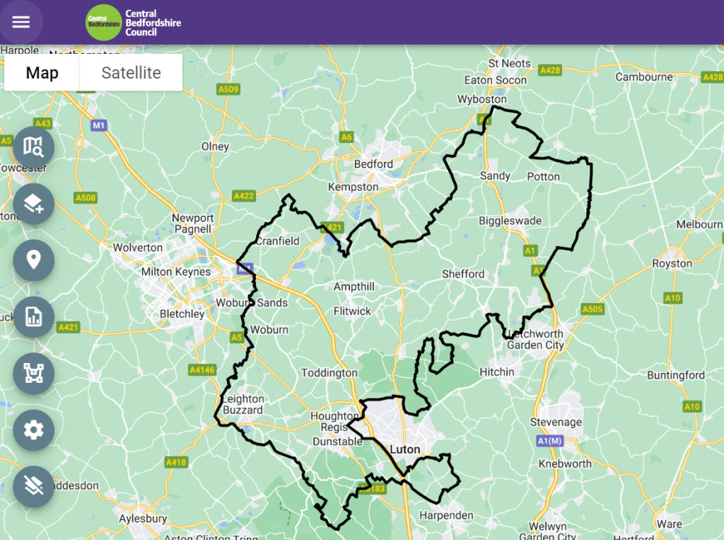
More data about Central Bedfordshire’s population is available via Central Bedfordshire Local Insight.
Central Bedfordshire Council Profile
The following report is generated from OCSI Local Insight and contains data for a preselected list of core indicators. All indicators are published at statistical area level; Output Area (OA), Lower Layer Super Output Area (LSOA) etc
These reports cannot be customised and run on one template, so every report generated will include the same indicators. However, the reports themselves are very detailed (over 70 pages).
Ward Profiles
Ward profiles include a large amount of data and information on small area populations. Please be advised that these are data snapshots.
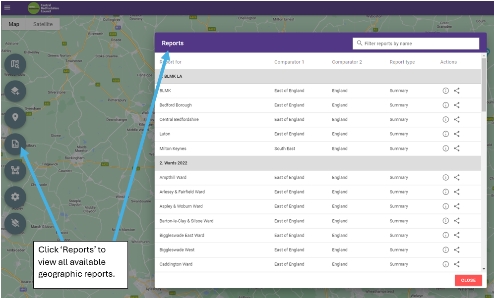
OCSI can add indicators to the report template and will do so if it is useful for users.
If you have a suggestion and would like dental indicators added please email OCSI on:
How to view data on the map in Local Insight
Video tutorials for how to use Local Insight can be found below: